Mapping & Aerial Imaging
Advances in drone technology have moved aerial imaging beyond merely taking stunning pictures from above.
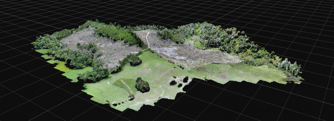
We are now able to harness huge potential with the applications we have for aerial mapping and imaging.
From the air, you get a different perspective. This allows you to make data driven decisions with better outcomes.
If you have any questions about our services or would like to know about careers in the forestry industry, contact us today.